Hurricane Dorian 'dangerously close' to US coastline
Outer bands of storm reaching the coast; Jeff Paul has the latest update on the storm.
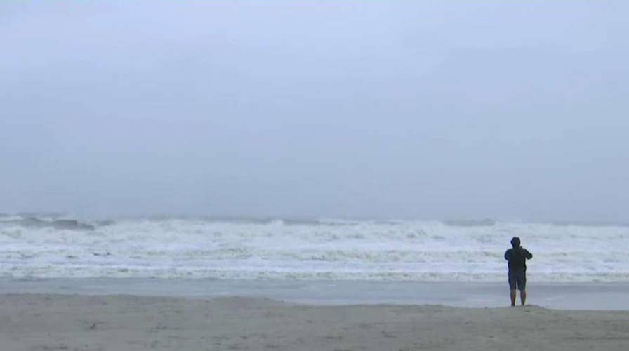
Torrential rains and tropical storm-force winds lashed central Florida’s east coast early Wednesday morning as a weakened Category 2 Hurricane Dorian moved north toward the eastern seaboard.
The 105 mph winds extend up to 175 miles from the eye of the storm, the National Hurricane Center reported.
HURRICANE DORIAN'S PATH: WHAT YOU NEED TO KNOW
Dorian is heading northeast at about eight miles an hour nearly parallel to the coast about 100 miles east of Daytona Beach, according to WESH-TV.
A flood advisory was in effect for parts of Orange, Lake and Volusia counties Wednesday morning, the Orlando Sentinel reported.
“A tornado or two are possible near the immediate east coast of Florida during the next several hours,” a 2 a.m. update from the National Hurricane Center said.

Brandon Ennis runs away from waves caused by Hurricane Dorian crashing over the jetty of the Jupiter inlet, Tuesday, Sept. 3, 2019, in Jupiter, Fla. (Joe Cavaretta/South Florida Sun-Sentinel via AP)
Officials urged over two million people in Florida, Georgia and North and South Carolina to evacuate. Dorian is expected to come close to making landfall in Georgia and South Carolina on Thursday or Friday and could also reach North Carolina and southeastern Virginia by the end of the week.
Severe flooding is expected to occur even if the storm doesn't make landfall.
The storm left more than 1,600 customers without power in Brevard County and Cocoa Beach Wednesday morning.
Dorian’s death toll rose to seven Tuesday after the hurricane battered the Bahamas for two days.
CLICK HERE TO GET THE FOX NEWS APP
Prime Minister Hubert Minnis said the Category 5 Dorian was the worst hurricane to ever hit the Bahamas.
Around 45 percent of homes in Abaco and Grand Bahama were believed to be damaged or destroyed when the areas were pounded by 185 mph winds. The Grand Bahama Airport was under six feet of water Tuesday.
Fox News' Louis Casiano contributed to this report.

The hottest stories ripped from the headlines, from crime to courts, legal and scandal.
